The Hydroscope
Visualizing Earth's aqueous lifelines

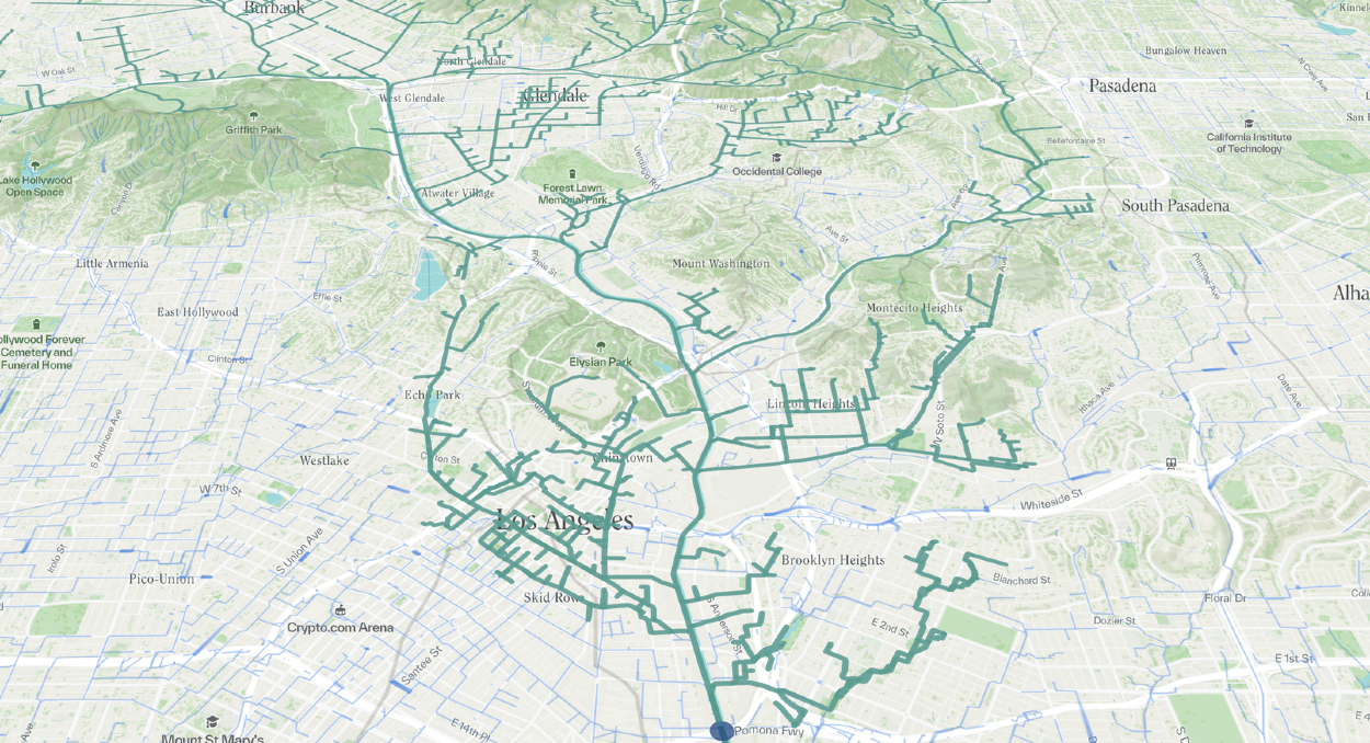
Hydroscope visualizes the dynamics of water within Earth’s web of life. Addressing the critical necessity of understanding and transforming local and global relations to water, it provides an accessible platform for seeing the nested interconnections across planetary water systems.
Integrating spatiotemporal data within a web-based mapping interface, Hydroscope transcends the constraints of static representation to animate nested water-related flows, volumes, cycles, boundaries, and relationships. More than a tool for passive observation, it fosters an interactive exploration of both local and planetary water cycles. By tracing the path of water from cloud formations and precipitation to watershed nourishment, through river meanderings and urban drainage systems, and finally, to ocean currents and cloud evaporation, it offers a window into the complexity and interdependence of water's lifecycle.
Inspired by the inventions of Hypatia and R. Buckminster Fuller's Geoscope, Hydroscope strives for a comprehensive view of Earth's aqueous lifelines. More than a mapping tool, it acts as a portal for exploring hidden relationships, revealing water's metabolic flows and the intricate interconnectedness of planet water.

